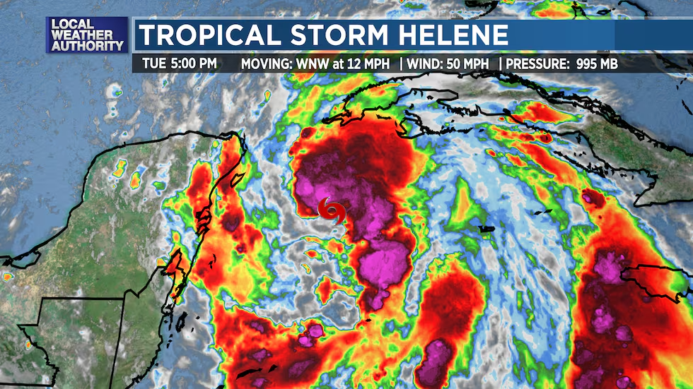
Tropical Storm Helene Expected to Become Major Hurricane Ahead of Florida Landfall
Tropical Storm Helene is rapidly intensifying and is forecast to become a major hurricane before making landfall on Florida’s Gulf Coast Thursday night. Life-threatening storm surge, damaging winds, and heavy rainfall are expected.
As of now, Helene is centered 60 miles east-northeast of Cozumel, Mexico, with maximum sustained winds of 70 mph. The storm is moving northwestward, bringing heavy rain to Mexico’s Yucatan Peninsula and western Cuba. Rainbands have already begun reaching parts of South Florida.
Hurricane warnings have been issued for Florida’s Big Bend region, with storm surge warnings in place from Indian Pass to Flamingo, including Tampa Bay. These alerts indicate that hurricane and storm surge conditions are expected within 36 to 48 hours.
Helene is expected to strengthen into a major hurricane as it moves into the Gulf of Mexico on Wednesday. The storm will impact a broad area, with winds, heavy rain, and tornado threats stretching inland to Georgia, Alabama, and the Carolinas.
Flooding from storm surge could reach over 10 feet in parts of Florida’s Big Bend, and rainfall totals may exceed 10 inches in some areas, increasing the risk of flash flooding and river overflow.
Residents are urged to complete preparations and follow local emergency instructions as the storm approaches.
Stichworte


