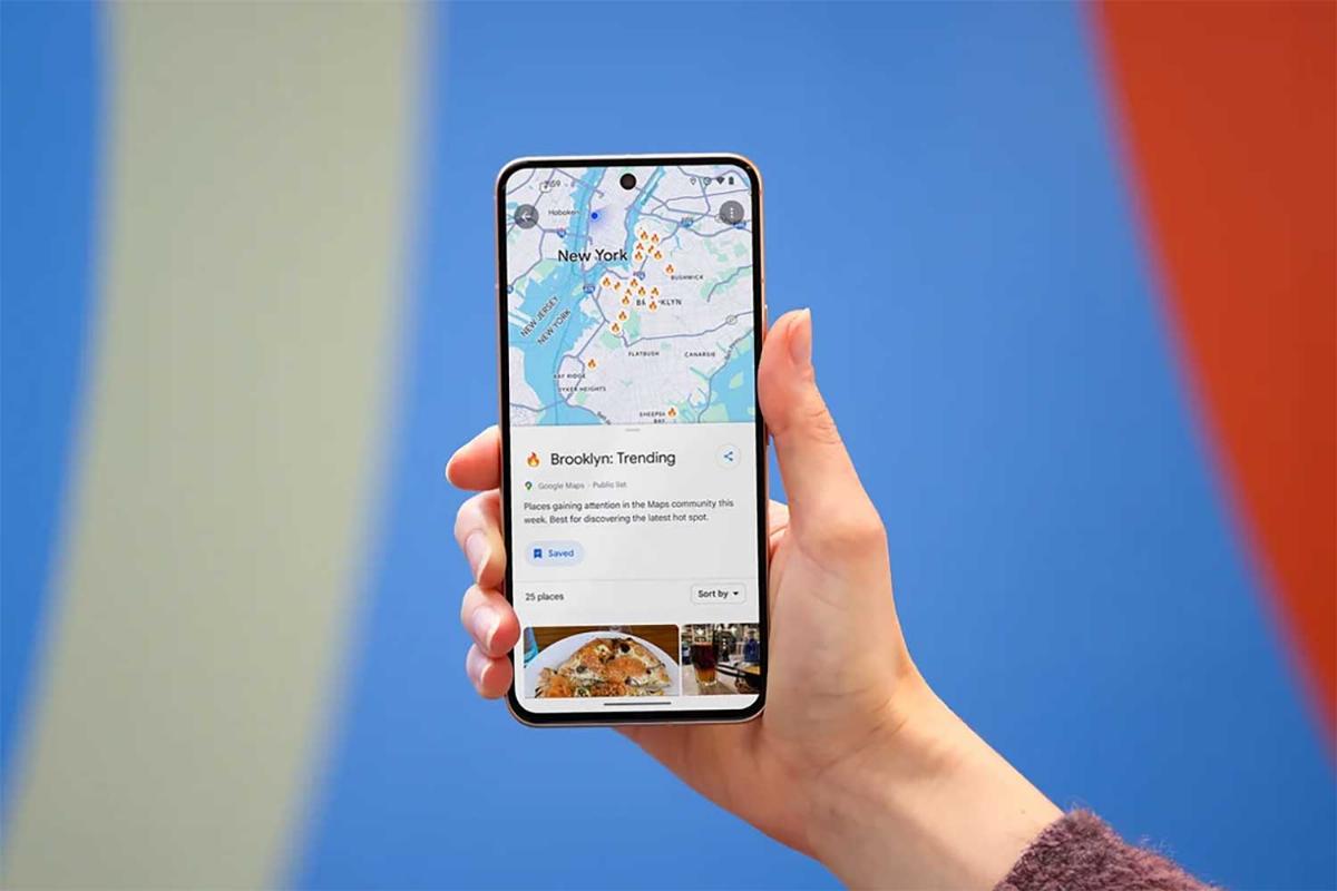
Google Maps - web-based mapping service
Google Maps is a web-based mapping service developed by Google, launched in February 2005. It provides detailed geographical information, including satellite imagery, street maps, 360-degree panoramic views of streets (known as Street View), real-time traffic conditions, and route planning for travel by foot, car, bike, or public transportation.
Google Maps covers most regions of the world and allows users to search for specific locations, addresses, businesses, and landmarks. It also offers turn-by-turn navigation, which gives users step-by-step directions to their destination, and real-time traffic data, which helps drivers avoid delays due to congestion or accidents. The service integrates information from various sources, including satellite data and contributions from users through Google’s Local Guides program.
Street View, launched in 2007, is one of Google Maps' key features, allowing users to explore locations virtually through panoramic street-level photos. Google collects these images via specially equipped vehicles and contributors who use their smartphones or cameras.
Google Maps has also expanded its offerings with tools like Google My Business, which allows businesses to claim their locations, manage their profiles, and provide accurate information to potential customers. This includes hours of operation, photos, reviews, and contact details.
Another important feature is the Google Maps API (Application Programming Interface), which allows developers to integrate Google Maps into websites and apps. This API is widely used in applications for location-based services such as ride-sharing, delivery tracking, and local business searches.
Google Maps also includes live transit data for many cities, showing users the best routes and available public transport options. Over time, the service has introduced features like offline maps, which allow users to download maps for use without an internet connection, and indoor maps, which cover large venues such as airports and shopping malls.
As of 2024, Google Maps remains one of the most widely used mapping services globally, with over a billion users. It is accessible via web browsers, Android and iOS apps, and offers features like real-time updates and personalized recommendations based on user history.
Stichworte
Quellen


